
From this distance, we in the United States talk about Patagonia like it is one place, one landscape. It’s like looking at a satellite view before you zoom in. But it is not a single place. It is not even a single country. Patagonia spans the high latitudes of Argentina and Chile. As a landscape scholar I would say it is a megalandscape, or even a subcontinent, covering the southern cone of South America.
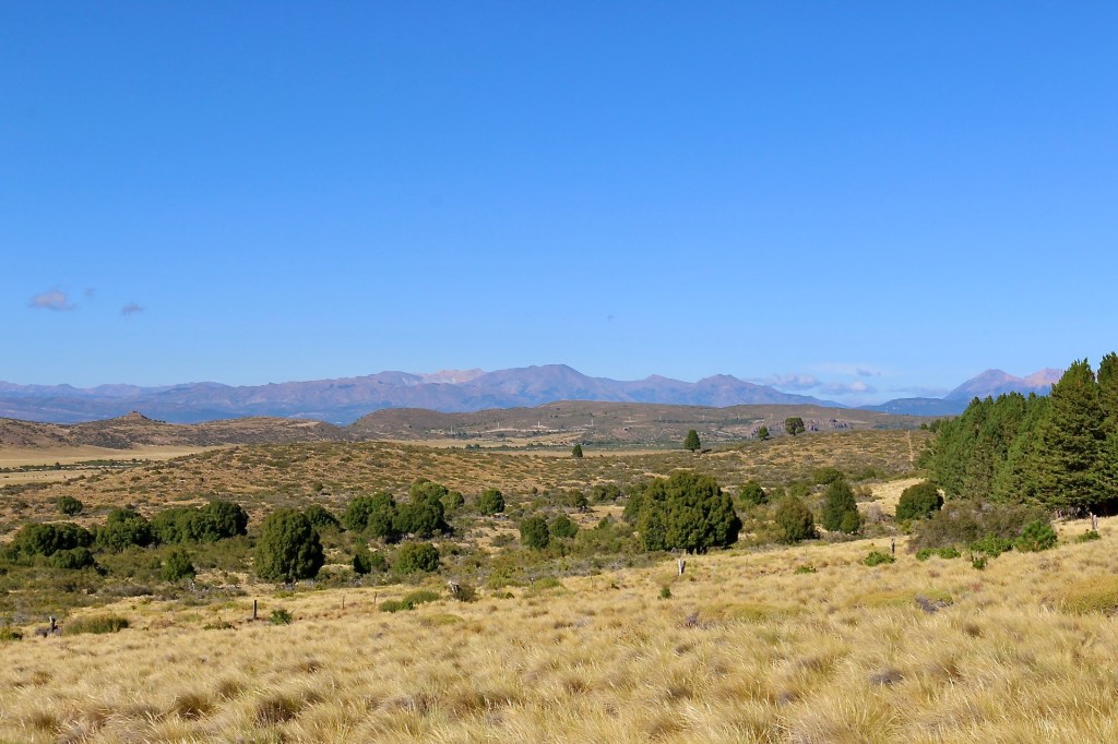
The massive region is 403,000 square miles, a million square kilometers. It is considerably larger than California, Oregon, and Washington. Its backbone is the high Andes Mountains. Alpine glaciers, which once flowed in earth-grinding ice rivers to the sea, have retreated to the high elevations. To the west are the wet, windward slopes in Chile ending in a rugged coastline incised by deep fjords. The eastern slopes in Argentina sit in the rain shadow where precipitation is correlated with altitude. The Andean Patagonian forest is a rich biome covering the well-watered slopes below the tree line. Long-melted glaciers left in their place a lake district running the length of Patagonia. To the east is the Patagonian steppe and then, as the landscape dries out even more, the cold Patagonian desert. In the far south, subarctic Tierra del Fuego is a rocky intrusion into the Southern Ocean. At no place in Patagonia are there many people, which adds to the mystique. Comodoro Rivadavia is a provincial city sitting on the Atlantic coast where it is tied to the fossil fuel resources in the area. Other provincial cities like Puerto Montt, Ushuaia, and San Carlos de Bariloche rely on tourism.
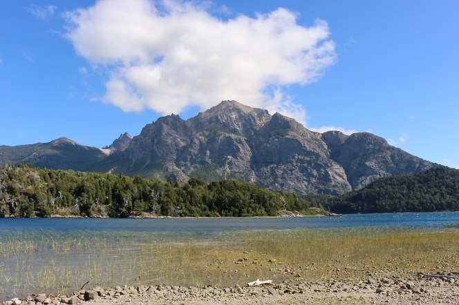
It is in this massive, iconic region I have two days to investigate. I am traveling for work, scouting for places to lead educational trips centered on sustainability — in short, places with complex issues of humans and nature existing in a healthy system or trying to. Two days is just long enough to touch down in one spot in Patagonia and have a good look around. My target is the Parque Nacional Nahuel Huapi, the oldest national park in Argentina. The park is 2,720 square miles (7040 sq km) — an area bigger than Delaware — so I am really just seeing a small section of the road-accessible area. Like national parks in many countries, Nahuel Huapi has mixed land tenure and mixed land uses. At its heart is the eponymous lake, Lago Nahuel Huapi, and the city of San Carlos de Bariloche. The park encompasses the transition from the Andean Patagonian forest to the Patagonian steppe, which makes for a striking contrast of landscapes.
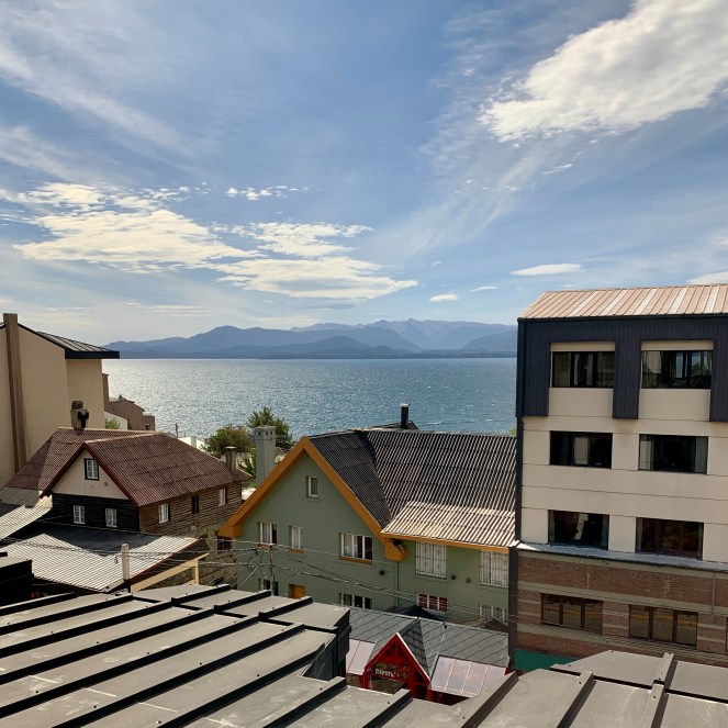
San Carlos de Bariloche
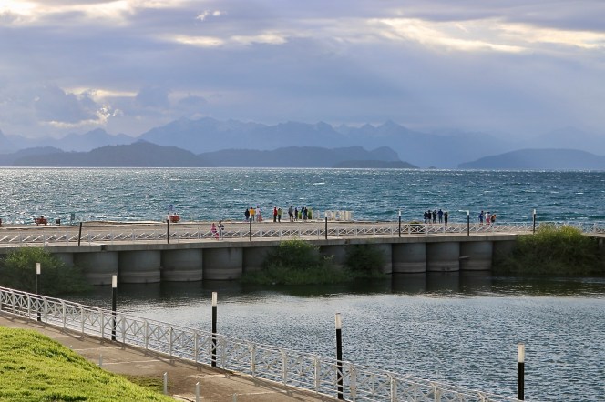
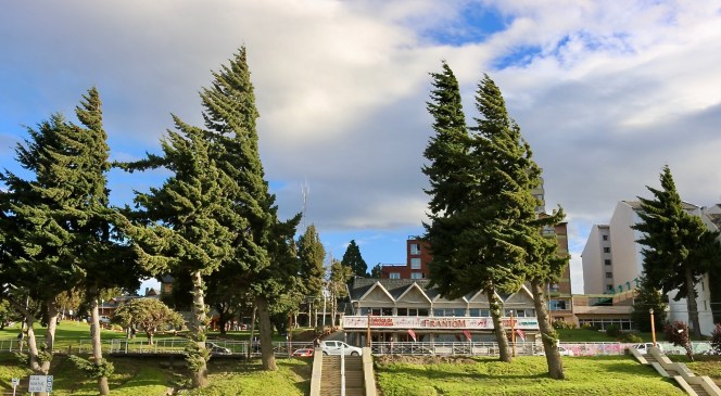
San Carlos de Bariloche, commonly know simply as Bariloche, is a rapidly growing city of 135,000 in the heart of the national park. Surrounded by mountains, skiing, and lakes it is a resort town as well as a gateway to the interior. A strong Andean wind coming through the mountain passes and across Lago Nahuel Huapi hits me immediately. It is so constant it shapes the shoreline trees. The lake is deep and cold. The water rarely reaches 60 degrees (16 celsius), making swimming out of the question. The constant wind makes the water too rough for pleasure boating. Only kite surfing with wetsuits fits the conditions. The lake leads deep into the Andes and to the Chilean border. In fact the town was founded by German settlers using a hidden pass from Chile when the frontier in this area was in dispute. Swiss and German influences grace parts of the town.
Tourism runs the economy here.The mountain behind the town, Cerro Catedral, contains the largest ski resort in the southern hemisphere by some measures. The 38 lifts transport 35,000 skiers per hour in August. I am visiting in summer on the night the Boca Juniors football club won Argentina’s Primera División. Supporters flood the streets to make as much noise as possible.

Estancia Fortín Chacabuco
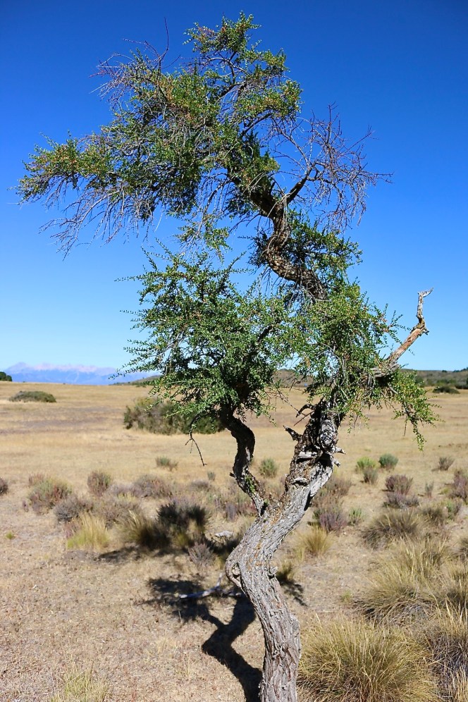
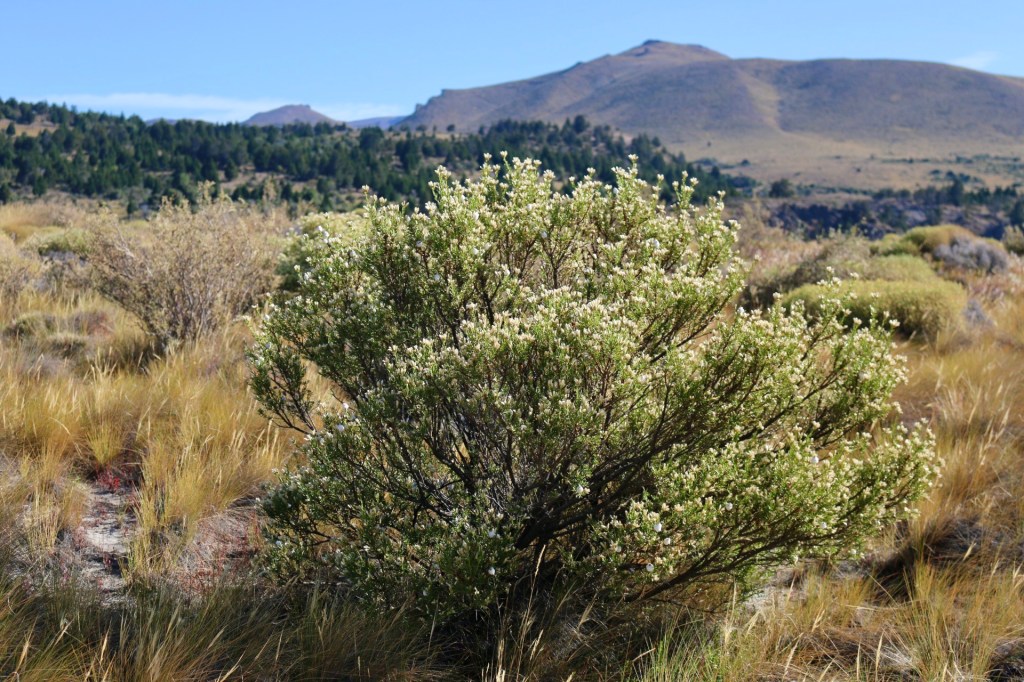
Leaving Bariloche and driving into the Patagonian steppe around the eastern end of the lake, the landscape quickly dries out. The topography is caught between the high Andes and the flat plains farther east. Forty minutes outside of town is the Estancia Fortín Chacabuco. This 13,000-acre (5260 ha) property has been managed by The Nature Conservancy since 2016 as a working ranch, demonstration site, and scientific research center. The ranch follows the Grassland Regeneration and Sustainability Standard (GRASS) and is home to several important faunal species including the tuco-tuco, a social rodent that lives only in areas of the steppe. Unfortunately, I don’t see a tuco-tuco or any animal life other than a few herding dogs. It is an open, windswept landscape of rolling hills and rocky knobs. The semiarid climate naturally supports grasslands punctuated with individual trees and clumping shrubs.

Parque Municipal Llao Llao
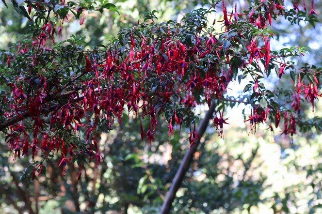
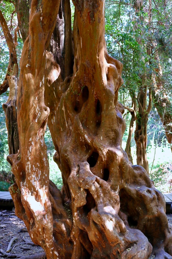
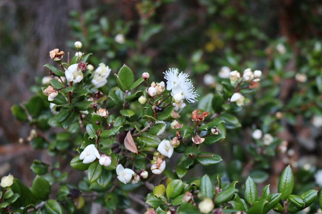
Llao Llao is a low, front-range peak nestled between two lakes 17 miles (27 km) west of Bariloche. It gives its name to a municipal park at the edge of the Andean Patagonian forest. The landscape is defined by its elevation and the resulting precipitation that is squeezed out of the cool atmosphere. The hydrologic regime of these forests suggests they should be fire adapted, but in fact they are not. Natural fire has not played a major role in the landscape’s development because the incidence of lightning is extremely rare in this part of Patagonia. Then, when a rare natural fire does occur, the fuel load is so great that the immediate area is completely destroyed, starting a process of reforestation. Today, 99 percent of fires in the Andean Patagonian forest are anthropogenic, and a large majority of them can be attributed to tourism.


My time in Patagonia is the beginning of an introduction. Three different landscapes in two days gives me a visual sense of the place and whets my appetite. I know I will need to return not only to dive deeper into the Nahuel Huapi park but also to explore the vast region at the southern end of the Americas. If one landscape holds a narrative, then Patagonia is an epic.
